


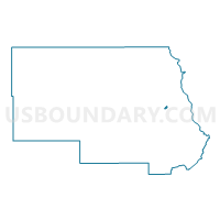
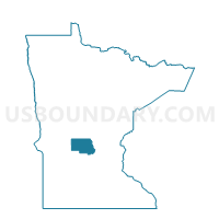
Waite Park P-4, Stearns County, Minnesota
About
Outline

Summary
| Unique Area Identifier | 604469 |
| Name | Waite Park P-4 |
| County | Stearns County |
| State | Minnesota |
| Area (square miles) | 0.21 |
| Land Area (square miles) | 0.21 |
| Water Area (square miles) | 0.00 |
| % of Land Area | 100.00 |
| % of Water Area | 0.00 |
| Latitude of the Internal Point | 45.54152170 |
| Longtitude of the Internal Point | -94.28665150 |
Maps

Graphs
Select a template below for downloading or customizing gragh for Waite Park P-4, Stearns County, Minnesota


Neighbors
Neighoring Voting District (by Name) Neighboring Voting District on the Map
Top 10 Neighboring County Subdivision (by Population) Neighboring County Subdivision on the Map
- Waite Park city, Stearns County, MN (6,715)
- St. Joseph city, Stearns County, MN (6,534)
- St. Joseph township, Stearns County, MN (1,924)